
- Documented gold in Pakistan concentrates in two very different settings: alluvial placer gold along the northern rivers, and large porphyry copper-gold systems in Balochistan's Chagai belt.
- Chagai's Reko Diq and Saindak deposits are real and enormous, but they sit inside active, licensed mining concessions — not open ground for hobbyist detecting.
- The northern river valleys — the Indus and its Gilgit, Hunza, and Chitral tributaries — are where small-scale, legal gold panning and detecting has genuinely happened for generations.
- Punjab and Sindh's plains, deserts, and the Salt Range are historically rich in coins and relics, not documented gold — a different hobby with a different legal category attached to it.
- Antiquities law, not mining law, governs digging at historical sites — it's provincial, and it treats undisclosed heritage finds as a serious offence, not a technicality.
A lot of what circulates online about 'gold prospecting in Pakistan' overstates how much of the country is realistic detecting ground, treating every province as equally gold-bearing because it makes for a tidier article. The geological record tells a narrower, more useful story — and knowing where it actually points saves you from ground-balancing a detector for gold that was never there to begin with.
The Two Places Pakistan's Gold Is Actually Documented
Pakistan's geology divides broadly into a northern collision zone, where the Indian and Eurasian plates crushed together to raise the Himalaya, Karakoram, and Hindu Kush, and a western volcanic arc system in Balochistan formed by older subduction of the Tethys seafloor. Almost all of the country's documented gold sits in one of these two settings — and they call for completely different approaches.
The Northern River Valleys — Real, Small-Scale Placer Gold
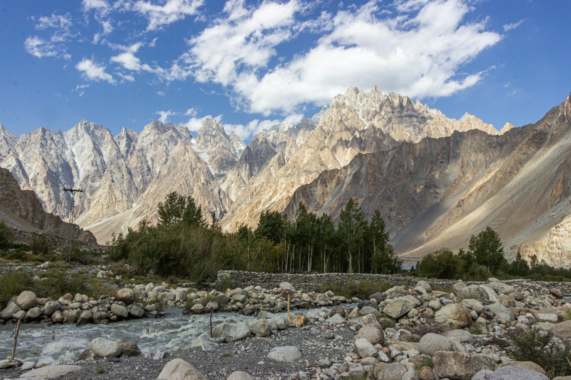
The Indus and its northern tributaries — the Gilgit, Hunza, and Chitral rivers — carry fine placer gold eroded out of Karakoram and Hindu Kush rock upstream, and panning these gravels along stretches from Gilgit and Chilas down through Besham toward Attock is a genuine local tradition, not a marketing claim. Small-scale artisanal recovery also continues around Ghanche district and Skardu. For detector work, the real challenge here is physical, not chemical: cold, fast-moving water and rounded, water-worn gravel that lets fine gold settle deep between stones, producing faint, easy-to-miss signals rather than false ones.
- Ground type: Water-worn river gravel and alluvial sandbars
- Main challenge: Small, deep targets giving faint signals in cold, fast water
- Detector fit: A high-frequency VLF for fine surface-level gold, or Pulse Induction for deeper bench gravels
- Coil choice: A small, fully waterproof coil for tight target separation between stones
The Chagai Belt — Enormous Gold, but Not Yours to Dig
Western Balochistan's Chagai district sits on a genuinely world-scale mineral system: the Saindak copper-gold mine holds roughly 83 tonnes of gold and has been in production since the 1990s, while the neighbouring Reko Diq deposit — now under a joint venture between Barrick Gold, the Government of Pakistan, and Balochistan's provincial government — is estimated at over 41 million ounces of gold alongside its copper. Both, however, sit inside active, licensed mining concessions. This is industrial ground with restricted access, not open country for hobbyist detecting, and unlicensed digging anywhere near a concession boundary is both illegal and genuinely unsafe given the active mining operations on site. Its real relevance to a hobbyist is as a reference point: Chagai's iron-rich volcanic ground is about as heavily mineralized as detecting terrain gets in Pakistan, so a machine's spec sheet claims about 'mineralized ground performance' are effectively being measured against conditions like this.
Where the Land Is Good for Detecting, Just Not for Gold
The Potohar Plateau and the adjoining Salt Range, between Islamabad and the Jhelum valley, are built from loess, gravel beds, and eroded rocky outcrops shaped by a genuinely long settlement history — which makes the region popular for coin and relic hunting on permitted ground, even though there's no documented gold deposit associated with it. Near Khewra's salt formations specifically, conductive salt-affected soil causes the same kind of signal drift familiar to anyone who has detected on a beach.
- Ground type: Loess and gravel, with salt-affected pockets near the Salt Range
- Main challenge: Salt conductivity causing signal drift and an unstable threshold
- What it's actually good for: Coin and relic detecting on permitted private land — not gold
The Thar and Cholistan deserts in Sindh and southern Punjab present a different, purely physical problem: deep, soft dune sand that absorbs signal strength, combined with extreme summer heat and fine dust that punishes equipment. The region's appeal for detectorists is its old caravan routes and abandoned settlements rather than any documented placer gold — the geological record simply doesn't put gold here.
- Ground type: Deep, soft dune sand with low mineral interference
- Main challenge: Signal loss in soft, deep sand, plus heat and dust wearing down equipment over a long day
- What it's actually good for: Coin and relic detecting around old trade routes and settlement sites — not gold
The Legal Line You Actually Need to Know
Two separate legal tracks apply here, and it's easy to cross from one into the other without realizing it. Antiquities law — provincial, but rooted in the federal Antiquities Act of 1975 — governs unauthorized digging at historical or heritage sites and the handling of undisclosed finds; it's enforced as a real offence, not a formality. Mineral and mining law is a separate provincial track entirely — laws like Balochistan's mining regulations or Khyber Pakhtunkhwa's Mines and Minerals Act govern commercial-scale extraction and require a licence. A hobbyist swinging a detector over permitted private land for lost coins or jewellery is doing something legally distinct from either of those — but it's worth knowing exactly where that line sits before you start.
- Never search or dig at a declared archaeological or heritage site — this is actively enforced under provincial antiquities law, not a grey area.
- Stay out of active mining concessions and any military or otherwise restricted zone.
- Get the landowner's explicit permission before searching private land.
- Commercial-scale prospecting or mineral extraction requires a provincial Mines & Minerals licence — hobbyist detecting for lost personal items does not, but the two can look similar enough to invite questions, so know which one you're actually doing.